Loma Alta, Novato. Photo: Scott Markewitz
When William Penn Mott Jr. looked out at the Bay Area landscape, he saw more than discrete ranges of hills separated by river valleys and tidal basins. He saw a connection: a single trail that linked the ridge lines encircling the Bay from the Oakland skyline to Mt. El Sombroso in the south, from the hills above the San Andreas rift in San Mateo to the Marin headlands, from the Bolinas ridge to Calistoga and back down again.
“Think of the Ridge Trail like a necklace,” says Executive Director of the Bay Area Ridge Trail Council Janet McBride. She describes Mott’s vision as a “string of trails connecting parks which are the jewels in the necklace. A connected trail corridor benefits both people and wildlife.”
Although Ronald Reagan tapped Mott to lead the National Parks Service in 1985, his dream lingered, and two years later the Ridge Trail Council formed to see it through. They dedicated the first section of trail in 1989. Today, the Bay Area Ridge Trail extends over 400 miles (toward an ultimate goal of 550 miles) and intrepid Bay Area hikers, cyclists, and equestrians are navigating the entire trail, piece by piece.
“Being able to take epic journeys has always been part of the Ridge Trail vision, but it wasn’t all that practical” at first, says McBride, but “as longer and longer stretches are knit together, hiking or riding the completed trail (aka “circumnavigating”) has become increasingly possible.”
Crockett Carquinez, Contra Costa. Photo: Joanna Salazar
The Trekking Fever
“Long-distance trail trekking has become part of the cultural zeitgeist in the past 10 years,” she says, citing examples like the Pacific Crest Trail, the Appalachian Trail, and Spain’s Camino de Santiago. In response to this rising popularity and to celebrate the Ridge Trail reaching 400 dedicated miles, the Council is holding a webinar this Thursday, January 27th. Speakers will tell their circumnavigation stories and share tools with the public to help plan their own adventure along the Bay Area ridge lines.
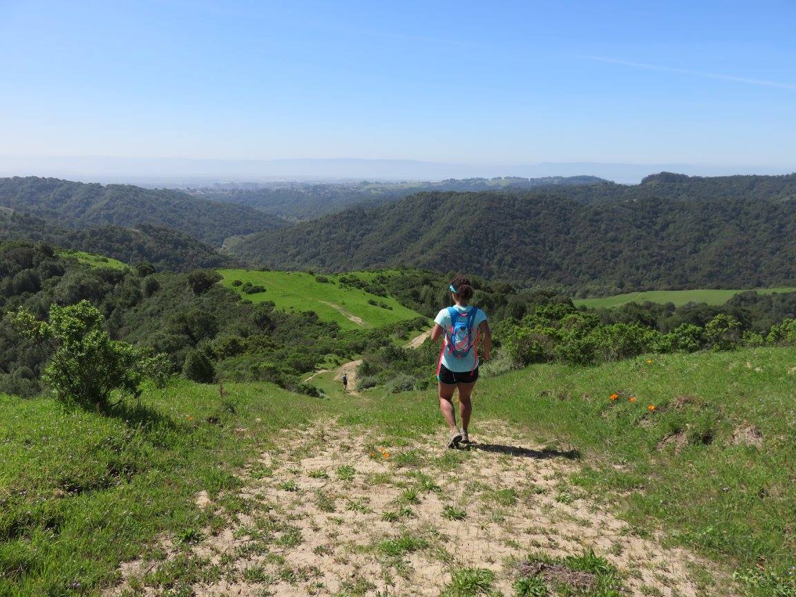
When Luana España, a board member of the Ridge Trail Council and speaker at Thursday’s webinar, first heard the idea of circumnavigating the Ridge Trail in 2014, she thought “why would you want to go that far?” She considered herself more of an adventure runner who runs “to explore, or to see something new,” rather than an “ultra” runner, someone who runs marathon-plus distances at a time. Even so, she caught the circumnavigation fever and, two years later, recruited friends to hike, bike and run the trail with her.
Averaging 41 miles per month over a roughly nine-month period, España was able to traverse all of the dedicated Ridge Trail that existed at the time. “There’s something special about completing a full circle,” she says of the experience. The circumnavigation bug stuck, and since then she’s hiked the Tahoe Rim Trail and is applying for a permit for the John Muir Trail next.
Dinosaur Ridge, Castro Valley. Photo: Luana España
A Trail Without Boundaries
Linking the Ridge Trail together through so many different municipalities, counties, and open space presents an impressive challenge on a regional scale. The Ridge Trail Council’s website lists over 25 different public land management agencies involved in the project, and another 35 or so advocacy and environmental groups. One of those challenges, as Austin McInerny discovered, is creating equitable access.
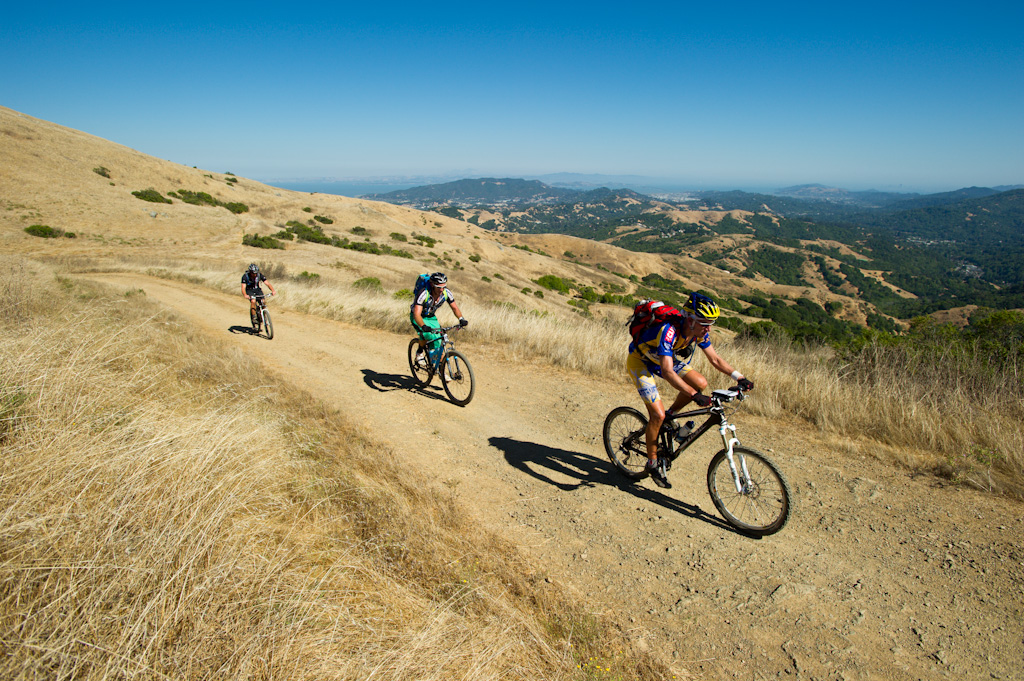
McInerny, former board member of the Council and another speaker at Thursday’s event, circumnavigated the Ridge Trail on mountain bikes in 2011 with friends in one continuous push. They used public transportation, organized car pickups to bypass trail gaps and urban sprawl, and crashed on the couches of friends and family when camping wasn’t available. Even with all that, there was still the challenge of negotiating access to parts of the trail that aren’t bike friendly.
“Big chunks of the trail are off limits to bikes,” says McInerny. “That’s just the policy of the land managers of the area.” To pull off their bike-based transit, McInerny and team reached out to local people who had played a role in establishing the Ridge Trail in that region to coordinate access. Through one no-bikes-allowed stretch they required an escort from land managers, and on one occasion had to make a last-minute diversion to avoid a potential confrontation with a group protesting the cyclists’ special permission to pass through.
Joaquin Miller State Park, Oakland. Photo: Scott Markewitz
Perhaps one of the benefits of regional connection projects like the Bay Area Ridge Trail is that similar agencies from different cities and counties, normally entrenched in their own silo of regulation, can learn a bit from how the others operate.
Consider the difference between the East Bay Municipal Utilities District (EBMUD), which historically did not allow bikes in the watershed, and the Marin Municipal Water District, which allows bikes on all unpaved roads. In 2018, thanks in part to advocacy from the Ridge Trail Council, EBMUD opened up limited access to bikes along two relatively short sections of the Trail that pass through their watershed.
McInerny’s background in land management allowed him to quickly see the potential in a regional, trans-county trail network. “It was a way to break down political and geographical barriers,” he recalls of his initial fascination with the Ridge Trail. “Here was a trail irrespective of boundaries.”
Russian Ridge Preserve, Redwood City. Photo: Karl Gohl
Trails to Your Doorstep
There’s more work still to do before the trail’s 550-mile loop is completed, but the Council continues to work with local land managers to foster access and build resources for thru-hikers and riders. “Over the last 10 years, we’ve worked to promote a whole network of facilities – campsites and huts or yurts to help support multi-day trekking,” says McBride. They’re also building resources for the public to plan their own adventures, like guidebooks, maps, online trail exploration tools, and an app.
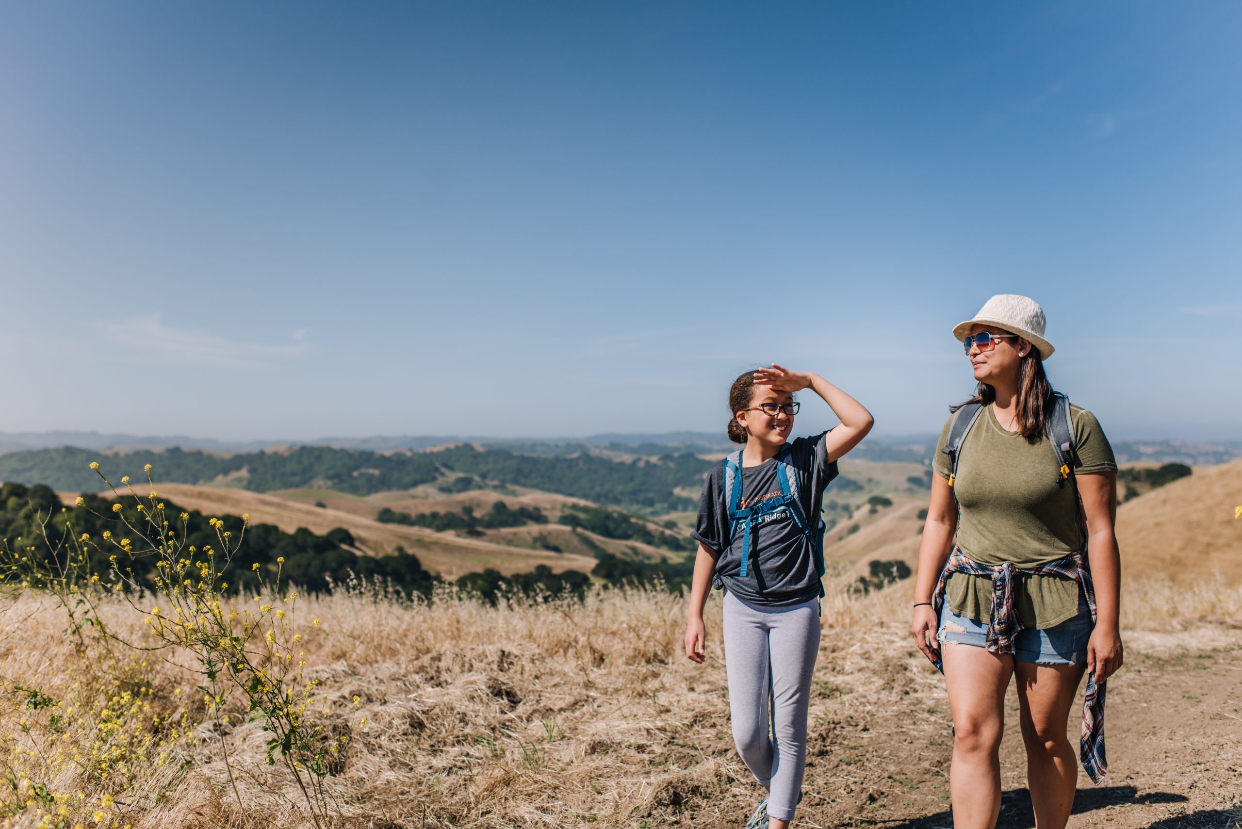
Life in the Bay Area can be hectic. It’s easy to lose sight of the landscape and the natural beauty that drew people here in the first place. Mott’s original vision of the Ridge Trail ties together not just the geography, but connects the people to the mountains on whose shoulders they live, and in whatever capacity they are capable of engaging with it.
At the end of the day, I have a job that I need to go do,” says España, who, in addition to adventure running and serving on the Ridge Trail Council board, also works for the Port of Oakland. To have “hiked, biked, run this [trail] over time, to take a photo there with family, there’s something unique about that. It really is a ‘choose your own adventure’ with friends.”
The Bay Area Ridge Trail Council is hosting a free, online webinar this Thursday, January 27th, at 6:30pm, where Luana España, Austin McInerny, and others will share their stories of circumnavigation and share tips, online resources, and opportunities for the public to ask questions. Learn more at https://ridgetrail.org/circumnavigation-webinar-2022/
Contact: [email protected]
Further Reading:
History of the Ridge Trail
https://ridgetrail.org/about-us/#about-trialheading
Circumnavigating the SF Bay Trail
https://bayareamonitor.org/article/one-step-one-sunday-at-a-time/