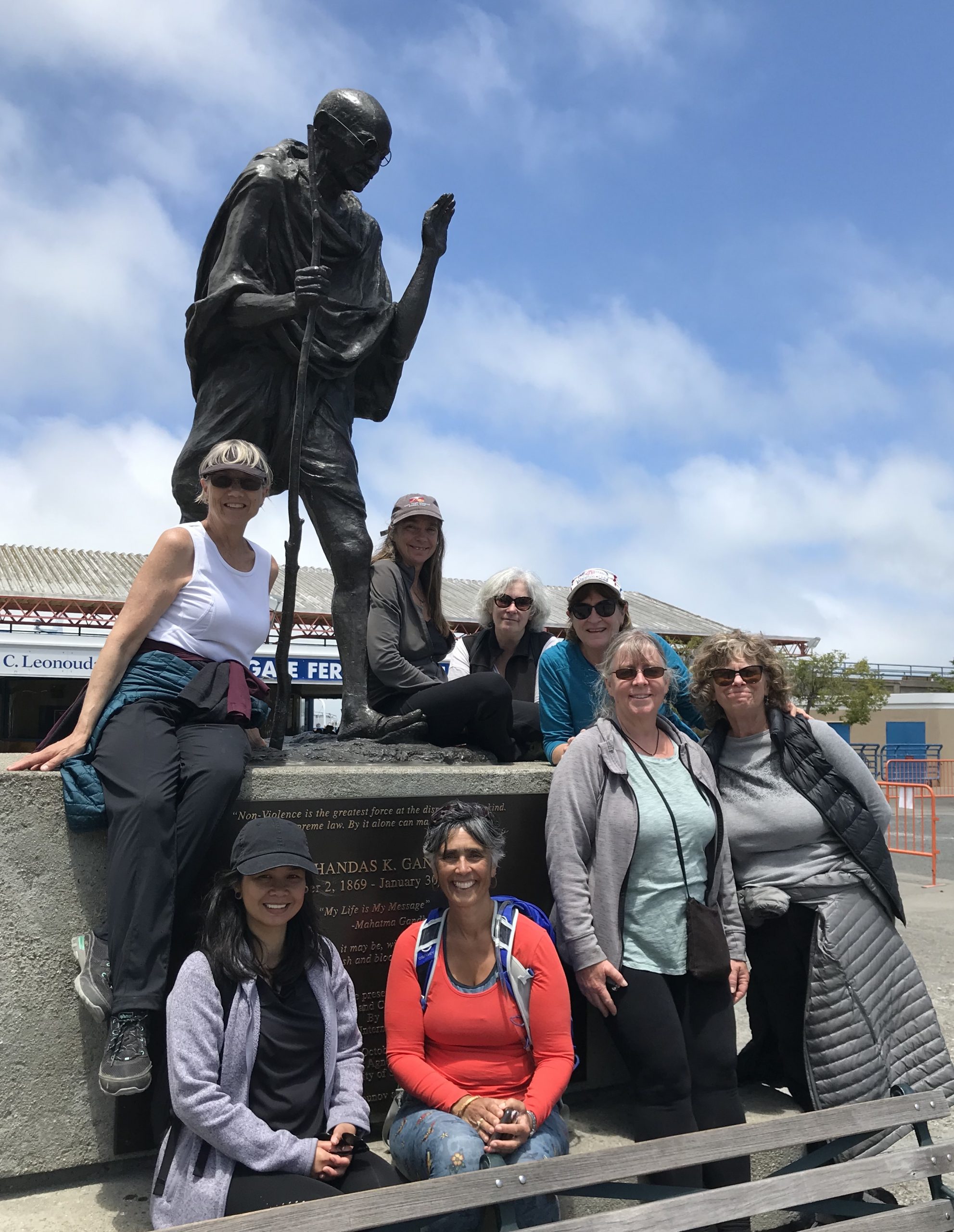
The Bay Trail walkers posing with Mohandas Gandhi at the Embarcadero Ferry Terminal. Photo by Aleta George.
A small group of women, average age sixty, recently walked the entire San Francisco Bay Trail, including the unfinished portions. They finished where they started in Emeryville after a four-year, nearly 500-mile adventure, and they did it by walking the segments contiguously one Sunday a month.
Barbara Christianson and Sally Jo Dinwoodie hatched the idea when Dinwoodie was recovering from back surgery and needed to get back into shape. Friends joined them. Like Christianson and Dinwoodie, Annette Williams didn’t miss a segment. The other intrepid walkers who have walked most of the trail (and who plan to make-up missed segments on their own) include Michelle Dhanak, Adena Kershner, Diane Johnson, and Amanda Aragon. I first joined them at their halfway point on the Golden Gate Bridge, and wrote about their journey for Estuary News. Since then, I have returned for eight Sundays and been inspired to walk other segments on my own.
“I think the thing that people forget about the bay, and the bay region as a whole, is that [the landscape] is extremely diverse,” said Lee Huo, a San Francisco Bay Trail planner. “It’s as diverse as the Bay Area community itself.”
Walking an average of ten miles each leg, they crossed the boundaries of 47 cities and nine counties where they picked their way through cow pastures, followed railroad tracks, skirted four airports, and scrambled over boulders below Interstate 80’s Carquinez Bridge (which they don’t recommend). They stopped for wine tasting in Napa and coffee at San Francisco’s Crissy Field, shared snacks and birthday celebrations, and kept their legs moving on long stretches with sweeping views of the Bay (all of which they do recommend).
Others have walked or biked the finished sections of the trail, but this group is the only one known to have walked both the finished and the unfinished segments of the planned 500-mile trail, which is a little over 70% complete. Sometimes that meant threading through city streets, other times taking a trail used by locals but not yet officially designated, and on a few occasions slipping through a fence while being ever mindful of private property. Huo said that while they encourage adventure, they “strongly discourage” people from walking the unfinished sections.
To complete their circumnavigation of the bay, these women used the Bay Trail Navigation Map and Google Earth on their cellphones. Williams became the de facto navigator. They started each walk where they finished beforehand and dealt with navigation along the way. Prior to COVID, they used a ride share service to return to their cars. They had to stop walking for several months at the peak of the pandemic, but once things loosened up, they masked, socially distanced, and carpooled with their windows wide open.
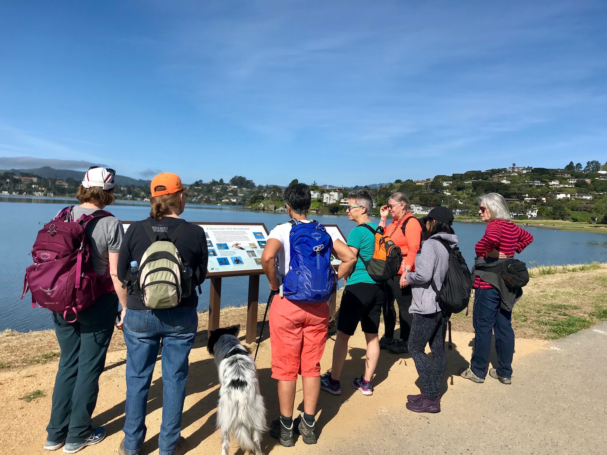
Photo by Annette Williams.
Their goal was to have fun, experience the walkabout, and enjoy each other’s company. “We were committed to each other and this goal, and we just enjoyed walking together,” said Williams. They didn’t write or blog about it, track it in any formal way (aside from the thousands of photos), or even pre-plan each walk. The exception was three “best of” observations gleaned from the group after each walk and logged in a journal. On the first page of the journal Christianson noted their only rules: stay as close to the bay as possible, no going backwards, and no shortcuts.
The last rule added miles to their journey, but it didn’t matter because they weren’t in a hurry. For example, when heading north they didn’t cross the Carquinez Bridge in Crockett, but headed east instead. They looped around the Carquinez Strait on the Bay Trail where they discovered Port Costa and the George Miller Regional Trail. From Martinez, they crossed the Benicia Bridge, dropped into Benicia, and walked the northern edge of the Carquinez Strait to Vallejo.
They always met at eight a.m. when the trails were less crowded than they would be two hours later. Some days were memorably hot, like it was in Napa in the summer. Other days were overcast, like in early January along the Hayward Regional Shoreline when sky and water blended imperceptibly at the horizon. Snowy egrets, red-tailed hawks, bridges across creeks, and the occasional homeless encampments were sighted. A San Francisco Bay Trail sign always brought joy, and usually a photo opportunity. A personal favorite sighting of mine was two bat rays gliding wing-on-wing in a shallow canal next to Bay Slough in Redwood City.
Talk on the trail made the miles slide by, and an exchange of who you walked and talked with shifted easily. The conversations covered grown children, the care of an elderly parent, art and poetry on the trail, bird identification, health, books, food, and work. In the East Bay, they looked across the water and told stories about walks completed on the other side.
The Bay’s shorelines were once viewed as a place to put dumps and factories, but that began to change about fifty years ago when several communities worked to protect and provide access to it, including when Sylvia McLaughlin, Kay Kerr, and Esther Gulick founded Save the Bay in 1961. “The movement that was started by Save the Bay was the focal point needed to pull together where everyone was going,” said Huo. “Instead of turning their backs to the Bay, they were turning towards it, and realizing that the Bay is this jewel that connects all of us, no matter who you are, no matter what your background is.”
The Bay, with all its beauty, quirks, and challenges, was usually within view, but on the last day the trail took us away from the water. Leaving Middle Harbor Shoreline Park, we walked alongside tiered shipping containers at the Port of Oakland and below a maze of intersecting highways. As if to prove that a Bay Trail walk always reveals surprises, we came upon a herd of grazing goats near the Interstate.
In Emeryville, the group completed its journey. Most of the walkers said they’d like to start it all over again. Instead, the group will continue to walk one Sunday a month, when the conversations and adventures will continue.
“Each time I’m on the Bay, or driving around it, or looking down on it from a hike in our local hills, I know I’ve seen it all—been all the way around that big expanse,” said Williams. “It becomes viscerally clear that the Bay connects all of us together. It’s a large area and a long walk, but walking it all made it feel like we live in a small community connected by this big waterway—the Bay.”
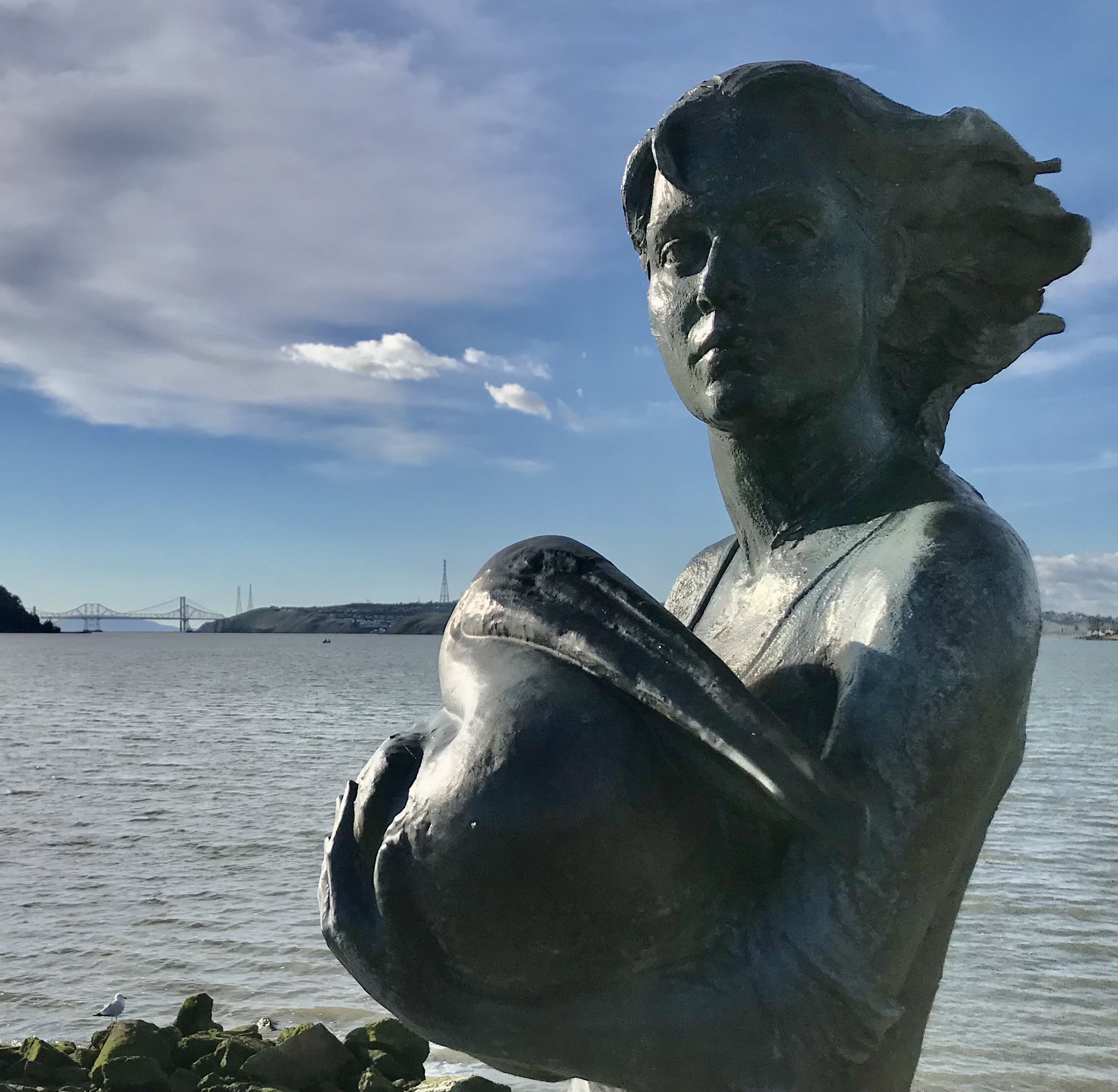
Neptune’s Daughter in Benicia. Photo by Aleta George.
To plan your own adventure go to BayTrail.org or check out Rodney Paul’s Bay Trail Confidential.